Transformational Designs
Improve project precision and speed with our innovative 3D GPS model for transformation design in today's complicated environment.

708-613-5222 info@pika3dtech.com
Our 3D Modeling package helps in minimizing the effort and time for construction projects by providing accurate, real-time feedback about the site. This 3D model is based on the two-dimensional construction plan, which is then converted into a three-dimensional, digital model by our skilled technicians. This 3D model provides a complete turn-key solution by incorporating any plan revisions, verifying surveyor coordinates and facilitating communication between all parties. With the help of GPS system, you can then download this 3D model to determine high/low points, stationing, locations of utilities, edge of pavement, erosion control and other features within fractions of an inch. This will reduce the chances of having to move dirt more than once.
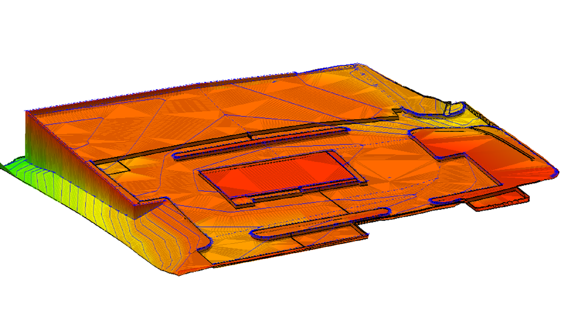
Improve project precision and speed with our innovative 3D GPS model for transformation design in today's complicated environment.
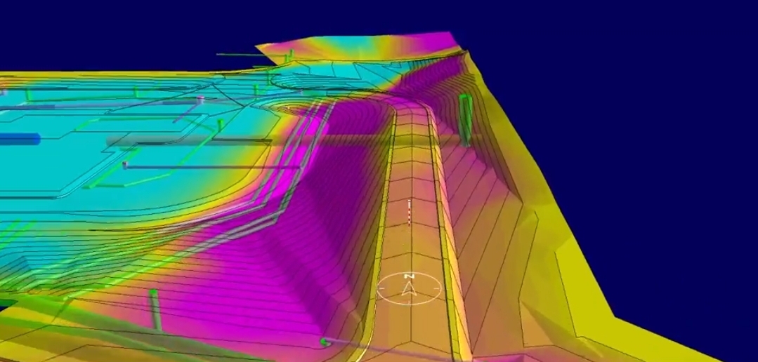
GPS modeling on your machines, whether it is an excavator, dozer, or grader, will allow you to get to the finish grade faster without any help from a surveyor.
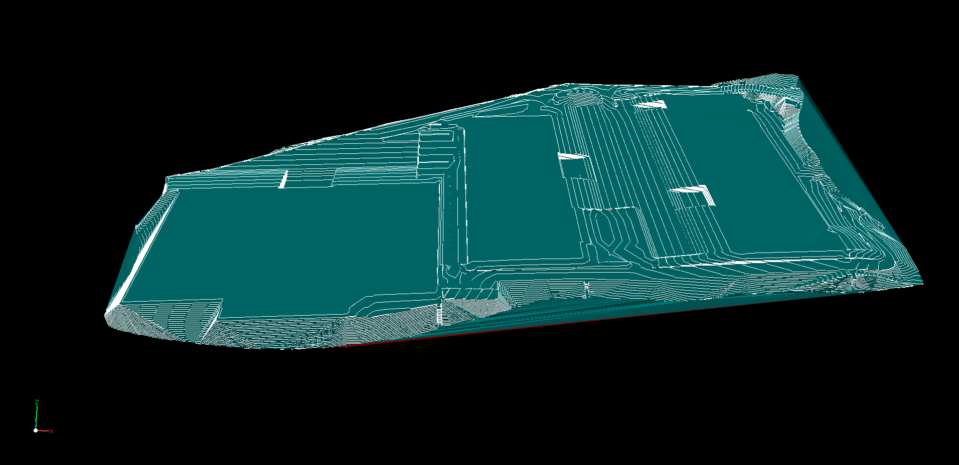
Embracing this technology will boost revenue for contractors across the board, opening up increased bidding opportunities for a greater number of projects annually.
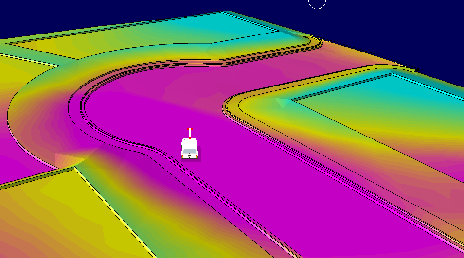
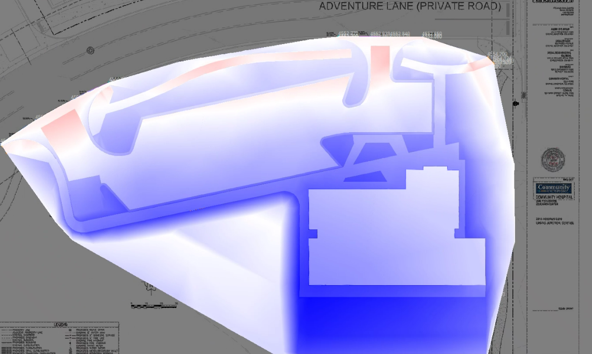
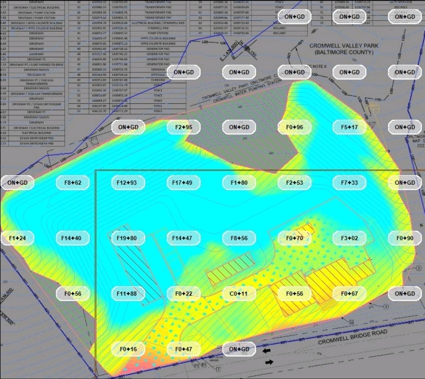
Pika3D's earthwork take offs provides contractors with remarkably accurate results that can be integrated with GPS systems for maximum efficiency. This along with the cost-effectiveness, quick turnaround and grade accuracy to a hundredth of an inch make it the perfect choice for contractors looking to bid and win more projects.
Pika3D earthwork takeoffs come with comprehensive reports which can be used for purposes like negotiating bids, verifying cost estimates and resolving engineering issues.
708-613-5222
Monday to Friday
8 AM to 5 PM
6429 W North Ave Ste# 205, Oak Park, IL 60302